9 July, 2024
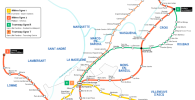
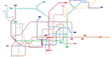
Lille metro map
5 July, 2024
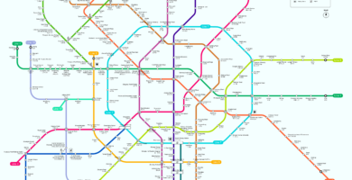
Chengdu subway map
1 July, 2024
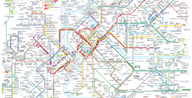
Ludwigshafen Light Rail Map
28 June, 2024
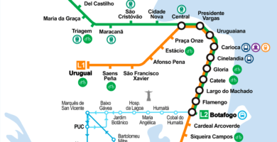
Rio de Janeiro subway map
27 June, 2024
Mapa de Shenzhen subway
26 June, 2024
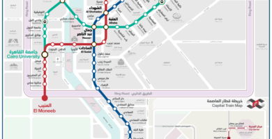
Subway Map of Cairo
26 June, 2024
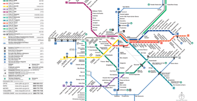
São Paulo metro map
25 June, 2024
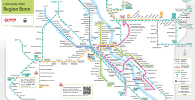
Bonn light rail map
25 June, 2024